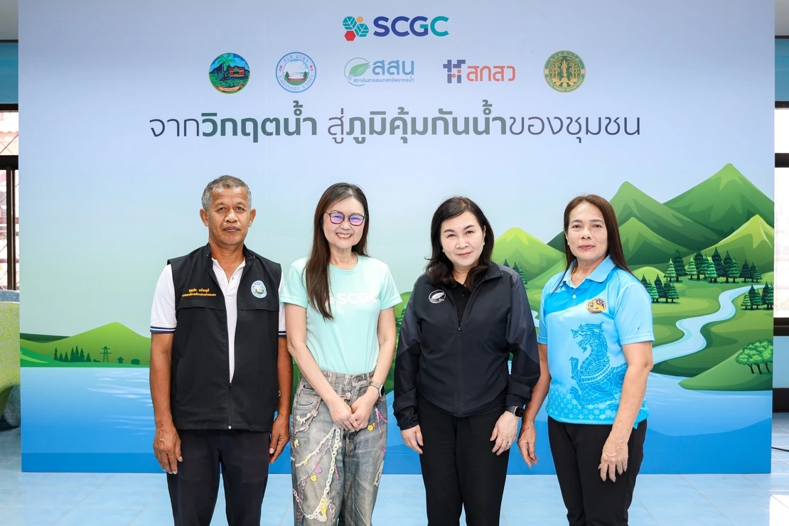
“Water management must also be a collective effort. It is not the responsibility of any single community. Establishing an interconnected water management system across the household, community, subdistrict, and district levels is therefore another important element in building resilience. HII, as a water management expert, has provided consultation and helped establish water-flow planning to connect water management throughout the system, from upstream to downstream areas. The ultimate goal is not simply to ensure that communities have sufficient water, but to build their capability to understand the situation, plan ahead, and manage water resources independently, while developing community leaders who can share and transfer this knowledge to other areas in the future.”
Dr. Royboon Rassamethes, Director of the Hydro-Informatics Institute (Public Organization), (HII), said, “Thailand is increasingly facing greater fluctuations in water conditions, including both excess water and water shortages that can lead to drought. Water management therefore needs to shift from a reactive approach, addressing problems after disasters occur, toward a proactive approach based on preparedness and advance planning. Three key factors are essential: complete and timely data, effective use of data, and people who can understand and apply the data in practice.”
“Today, HII integrates data from 56 agencies across 13 ministries and 1 independent organization through the National Hydroinformatics Data Center and ThaiWater platform, as well as developing provincial water information center websites covering all 76 provinces. These platforms support provinces in monitoring situations, analyzing conditions, and developing water management plans suited to local contexts. However, the key is turning data into practical action, from understanding water availability and demand, developing community water maps, to using data to support decision-making. This enables people in each area to plan and manage their own water resources, helping shift the approach from responding to crises after they occur toward building resilience and long-term preparedness.”
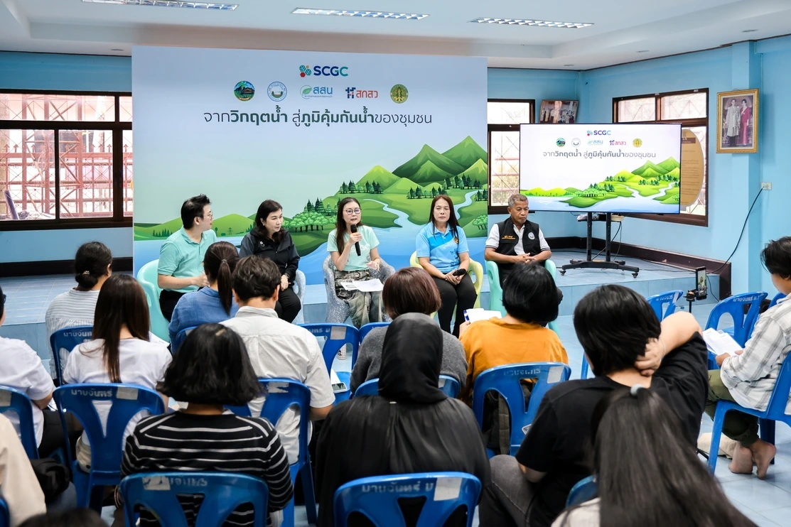
Wandee Inprom, Subdistrict Headwoman and representative of the Ban Mab Chan Community Water Management Group, Rayong, said, “In the past, the Khao Yai Da area had experienced forest degradation, and during the dry season, water shortages affected people’s livelihoods, agriculture, and community income. We primarily relied on natural water sources and had to wait and see how much rainfall would come each year. We did not have a clear understanding of how much water was available, making it difficult to plan water use and agricultural activities.”
“After the community worked together to restore the watershed forest, build check dams, develop water maps, collect data, and establish shared water-use rules, we began to understand how much water was available, how much was needed, and how it should be allocated. When a severe drought occurred in 2019, what enabled Ban Mab Chan to get through the crisis was not simply having water reserves, but having knowledge, data, rules, and collaboration. Everyone worked together to watch over and maintain the check dams, water sources, and watershed forest. Today, the community no longer has to wait for drought to occur before responding; we can plan water use and prepare in advance. This is the community’s ‘Water Resilience.’ At the same time, Ban Mab Chan has developed into a learning center where knowledge of water management is shared with young people, emerging community leaders, and other communities for further adaptation and application.”
The knowledge and experience in water management have subsequently been expanded from upstream areas to downstream lowlands and agricultural areas. SCGC, HII, and the Ban Mab Chan community have jointly served as mentors to Ban Hua Thung Community, Klaeng Subdistrict, Rayong, beginning by adapting the “2 Cultivate 2 Collect” Model to the local context to improve water retention, distribution, and planning for agricultural use.
Boonlert Anantapoom, Mayor of Klaeng Subdistrict Administrative Organization, said, “Ban Hua Thung is an agricultural area that traditionally relied mainly on rainfall. Farmers could grow only one rice crop per year because they were uncertain whether there would be sufficient water through the harvesting period. After adapting the ‘2 Cultivate 2 Collect’ Model, together with guidance from HII experts, the community has improved water retention and distribution, maintained check dams and weirs, dredged retention ponds, and developed water maps and data to support joint water-use planning. Today, there is sufficient water for approximately 60 rai of dry-season rice cultivation, supporting approximately 300 rai of agricultural land and benefiting more than 90 households. Farmers are now able to plan their cultivation better, increasing agricultural production and income. Instead of waiting for rainfall, we can now plan for water availability.”
“At the local government level, we are now taking the community-based water management approach further by building a system at the subdistrict level. This includes developing a local water database, preparing a three-year subdistrict water management plan, and establishing a network of the Klaeng Subdistrict Water Committee. These efforts will provide communities with the data, people, and mechanisms needed to continuously manage water resources, while enabling the data and plans to support future development and funding opportunities.”
The Khao Yai Da Watershed Forest Restoration Project covers more than 28,000 rai and has been implemented continuously in collaboration with communities, local government agencies, network partners, and volunteers. More than 7,600 check dams have been repaired and constructed using natural materials and following natural watercourses to help slow water flow, increase water infiltration into the soil, and maintain moisture in the area. Continuous implementation has resulted in more than 14 million cubic meters of annual streamflow* in the Khao Yai Da watershed and contributed to ecosystem restoration. Studies have identified 120 plant species and 123 wildlife species.** The project has also helped sequester more than 2.5 million tons of carbon dioxide equivalent****, reflecting the recovery of the ecosystem alongside strengthened water security. In addition, systematic water management has generated benefits beyond water availability by strengthening the resilience of fruit orchards and agricultural areas around Khao Yai Da, with total agricultural production exceeding 79 million kilograms per year***. The initiative has also created opportunities to develop processed products, community enterprises, and agro-tourism.
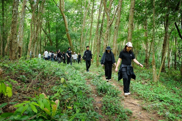
The collaboration spanning the Khao Yai Da watershed, Ban Mab Chan, and the agricultural areas of Ban Hua Thung demonstrates an approach to building Water Resilience that goes beyond ensuring sufficient water. It focuses on cultivating people, knowledge, data, and management systems so that communities can independently plan and manage water resources, while transferring knowledge from one community to another, developing the next generation of community leaders, strengthening water security, restoring nature, and improving quality of life sustainably.
-----------------------------------------------------------------------
Remarks: * Streamflow survey data collected in 2021. ** Plant and wildlife survey data collected in 2012. *** Agricultural production survey data collected in 2021. **** Carbon sequestration assessment using SCGC’s remote sensing and advanced artificial intelligence technology, CERT+, conducted in 2025.